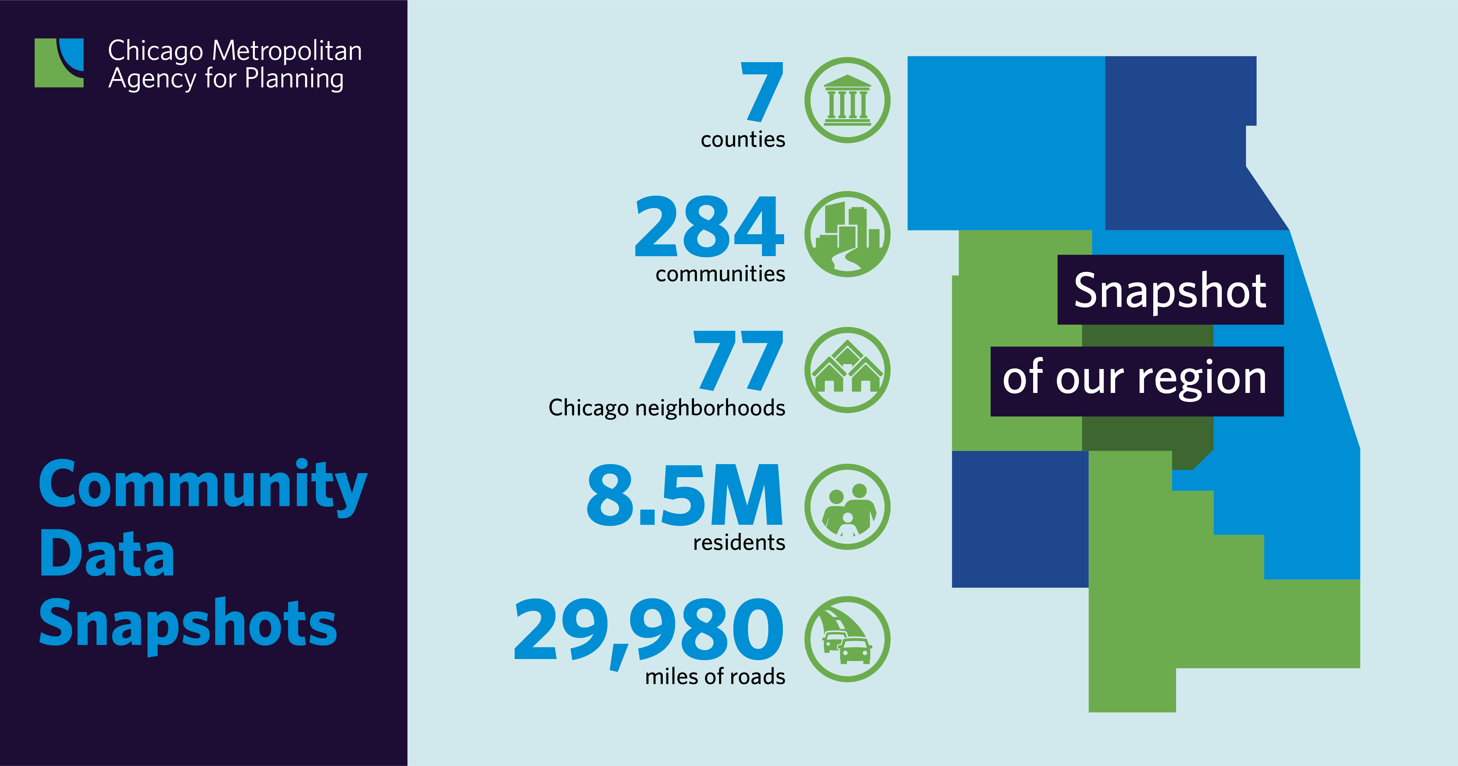
The Chicago Metropolitan Agency for Planning’s (CMAP) Community Data Snapshots summarize demographic, housing, employment, transportation, land use, revenue, and water data in northeastern Illinois. Each year, CMAP updates these snapshots for the region’s seven counties (Cook, DuPage, Kane, Kendall, Lake, McHenry, and Will), 284 communities, and 77 Chicago neighborhoods.
Find a printable PDF of your community’s information by using the Community Data Snapshot map or by selecting the county, municipality, or Chicago neighborhood links.
Do you want to explore the data yourself? Download it from the CMAP Data Hub.