Numerous opportunities occurred for the public to provide input and participate throughout the planning process. The Villages of Algonquin and Cary, in partnership with CMAP, embarked on a series of workshops and meetings with various community stakeholders and residents and incorporate local input to the planning process.
Past Activities
Virtual Open House (February 2021)
Through a virtual open house, CMAP solicited public comment on the draft plan from January 27, 2021 to February 28, 2021. Over 1,500 people visited the virtual open house website, which featured five "stations" with information about the draft plan. Overall, comments received demonstrated support for new recreation amenities, path and trail improvements, open space protection, and ideas for new commercial businesses.
Community Engagement (August-September 2019)
CMAP staff solicited feedback from the public at the Algonquin Summer Concert Series (8/1/19), Cary National Night Out (8/6/19), and Cary Main Street Fest (9/14/19). Participants learned about the planning process and voiced support for amenities to support recreation and entertainment.
Online Survey
CMAP developed an online survey for the Algonquin-Cary Subarea Plan in order to engage a broader audience on what they would like the mining sites and surrounding area to be in the future. The survey encouraged residents to provide feedback on themes, strategies, and their vision for the subarea. In total, 871 residents completed the survey, which was open for comment from April 22, 2019 to June 3, 2019.
Visioning Workshop (May 15, 2019)
A public visioning workshop for the Algonquin-Cary Subarea Plan was held on May 15, 2019, at St. John's Lutheran Church in Algonquin. The workshop began with a brief presentation by CMAP staff to provide an overview of the planning process and key findings from the existing conditions phase. Then participants divided into three groups in which they responded to a series of questions outlined in a discussion guide. Participants discussed ideas related to the environment, parks, recreation, economic development, and transportation. The groups then took part in a mapping activity where they used examples of different development, preservation, and open space options to develop a vision for the planning area.
Community Workshop (July 23, 2018)
A public workshop was held on July 23, 2018, at Cary Park District Community Center. CMAP staff presented the purpose of the subarea plan, introduced the project team, and gave an overview of the planning process. CMAP staff then facilitated a small-group activity to hear from residents and other participants on the strengths, issues, and potential projects for the planning area. Some key themes that emerged from this activity include recreation, environmental protection, development opportunities on Route 31 and Klasen Road, noise, light, and parking management to reduce nuisance to neighbors, and trail connections.
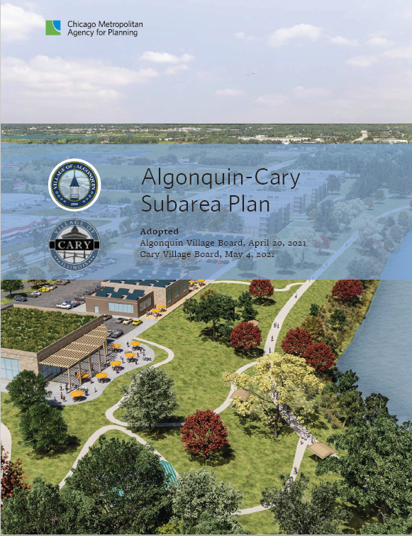
 UPDATE: The Algonquin-Cary Subarea Plan was completed in May of 2021. The final plan is available for download below.