Update: Plan unanimously approved by Village of Arlington Heights Board at September 5, 2017 meeting.
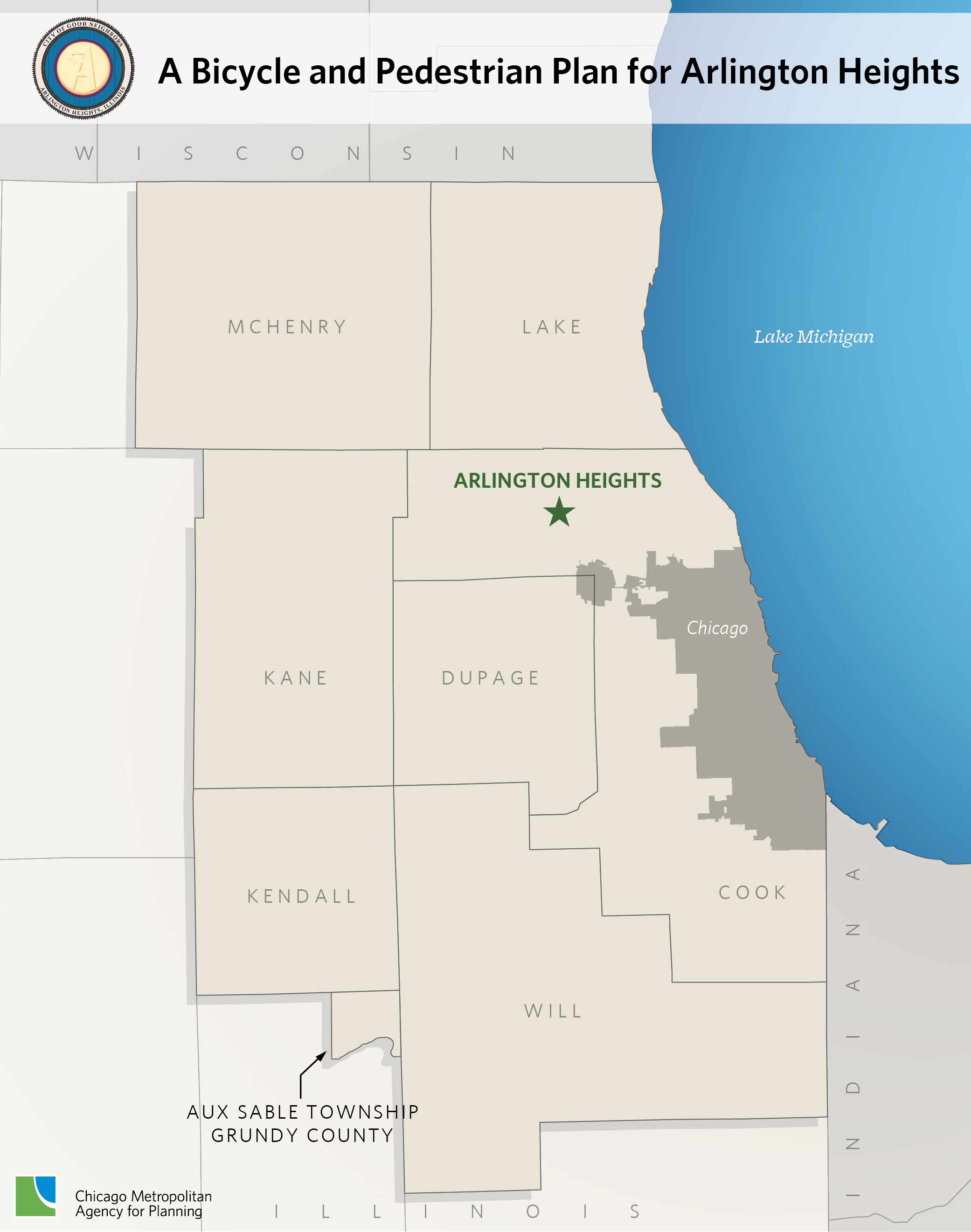
The Village of Arlington Heights is a suburban community located in northwest Cook County, approximately 25 miles from downtown Chicago. Since its incorporation in 1887, the Village has grown steadily and, after a population explosion in the 1950s and 1960s, is now home to over 76,000 residents. The Village is well-situated in relation to the regional transportation network, with access to the Jane Addams Tollway, Illinois Route 53, Lake-Cook Road, Palatine Road, and other major arterials, as well as two Metra stations and seven Pace routes. It is also located within cycling distance of the Des Plaines River Trail and other parts of the existing and emerging regional trail network.
Arlington Heights, with the help of its Bicycle and Pedestrian Advisory Commission (BPAC), has adopted a Complete Streets policy, developed a bicycle parking ordinance, and developed an extensive bike signage network to improve conditions for bicycling and walking, increase the number of trips made by these travel modes, and improve safety. The Village is also working toward achieving Bicycle Friendly Community status through the League of American Bicyclists. Building on these efforts, CMAP's Local Technical Assistance (LTA) program will assist Arlington Heights in creating a forward-looking, comprehensive plan for bicycle and pedestrian travel within the Village and to nearby major destinations. The plan will outline the community's vision for bicycle and pedestrian travel and define policies to help achieve that vision. While previous Village plans established the basic principles for bicycle planning and initial signed bikeway routes, a comprehensive update is needed to incorporate current best practices and innovative approaches; emphasize connections with neighboring communities and regional destinations; address safety, access, and mobility issues for cyclists and pedestrians; and adequately reflect the Village's successful focus on transit-oriented development.
The Village of Arlington Heights recognizes the importance of intergovernmental planning. Neighboring communities Palatine, Mount Prospect, Buffalo Grove, Wheeling, and Des Plaines have all recently adopted and begun implementation of bicycle, pedestrian, and active transportation plans. As an active member of the Northwest Municipal Conference and its Bicycle and Pedestrian Committee, Arlington Heights will continue to work closely with its neighbors in developing major regional connections that encourage more bicyclists and pedestrians to use the existing system and advocate for more improvements in the future.
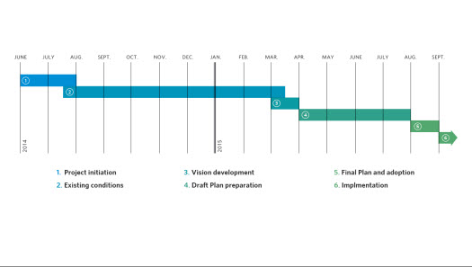
The planning process will include three basic phases, with public input being a key component of each phase. The first phase will involve a thorough analysis of the existing conditions within the Village using information gathered through stakeholder interviews, steering committee meetings, workshops, review of previous studies, and analysis of available data. Phase two will focus on creating a vision for bicycling and walking in Arlington Heights by identifying major goals and objectives. The final phase will combine efforts from previous phases to create a bicycle and pedestrian plan with network recommendations, policies, programs, and actions steps to be undertaken in order to achieve the community's vision for bicycling and walking.