Update: The Downtown Lisle Parking Management Plan was approved by the Village Board and is available for download (low resolution - 6MB, high resolution - 47 MB) . The Downtown Parking and Transportation existing conditions report was completed in 2017.
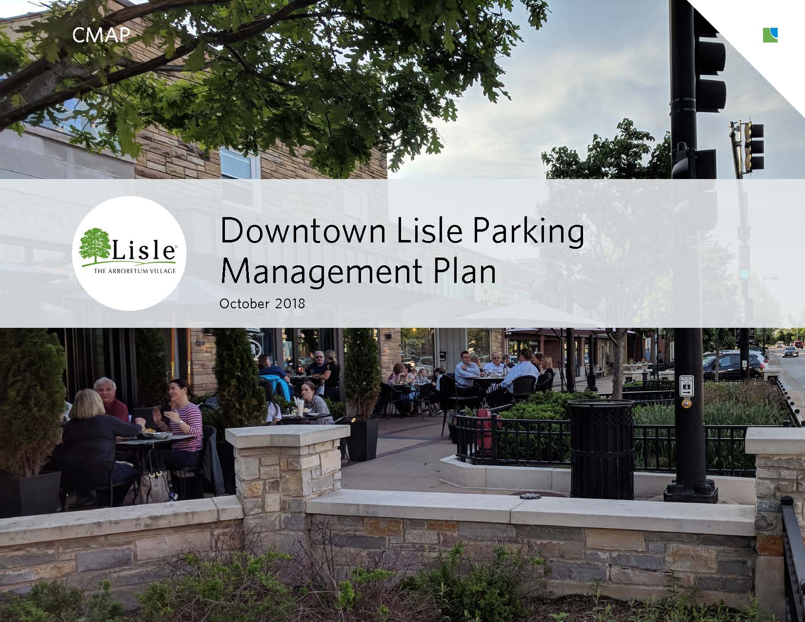
Through the CMAP Local Technical Assistance (LTA) program, the Village of Lisle studied downtown parking to assess local parking needs, analyze trends, and identify improvements in policy and infrastructure to support the goals outlined in their downtown master plan.
The planning process, developed in collaboration with the Village of Lisle, included three phases. The first phase involved a thorough analysis of the existing conditions within the community, using parking surveys and information gathered from the steering committee, interviews with key stakeholders, and review of previous plans, studies, and data. The second phase focused on creating strategies for Lisle's downtown based on findings from the phase one analysis and public engagement. The third phase included plan creation, community feedback, and plan adoption.
The Village of Lisle is located approximately 28 miles west of downtown Chicago with convenient vehicular access to both Interstate 88 and Interstate 355. Downtown Lisle is adjacent to two regional arterial roadways, Ogden Avenue on the north and IL Route 53 on the west. Downtown Lisle is a mixed use area primarily containing a range of retail, service, office, institutional, and low-density residential uses. Village Hall, a fire station, Prairie Walk Pond, a historic park, and a historic cemetery are also located in the downtown.
The BNSF Railroad runs east/west through the center of downtown Lisle and a Metra station is located near the southeast corner. Approximately 2,000 riders board at the Lisle Metra station daily. Additionally, the Lisle Metra station is served by PACE route 828 and various private shuttles allow reverse commuters to ride the Metra from Chicago and take the bus to the Lisle-Naperville Office Corridor which houses major employers such as Navistar. A pedestrian underpass and underground tunnel provides access to both sides of the tracks in two locations. Additionally, two viaducts at IL Route 53 (Lincoln Avenue) and Main Street provide access under the tracks for vehicular traffic. Travel by bicycle is limited to bicycle-friendly streets in the downtown, with highways I-88 (to the north) and I-355 (to the west) creating major barriers to travel by bicycle.
For more demographic information, view the Lisle Community Data Snapshot.