Local strategy map
Walkability in the Chicago region
Walking is a part of almost every trip, whether it is the sole mode of travel or the first stage in a trip that includes a bus, train, automobile, or bicycle. The safety, accessibility, and design of pedestrian facilities are core components of the region’s transportation network. Click the map to explore strategies for increasing walkability in different communities across the Chicago region.
Low walkability
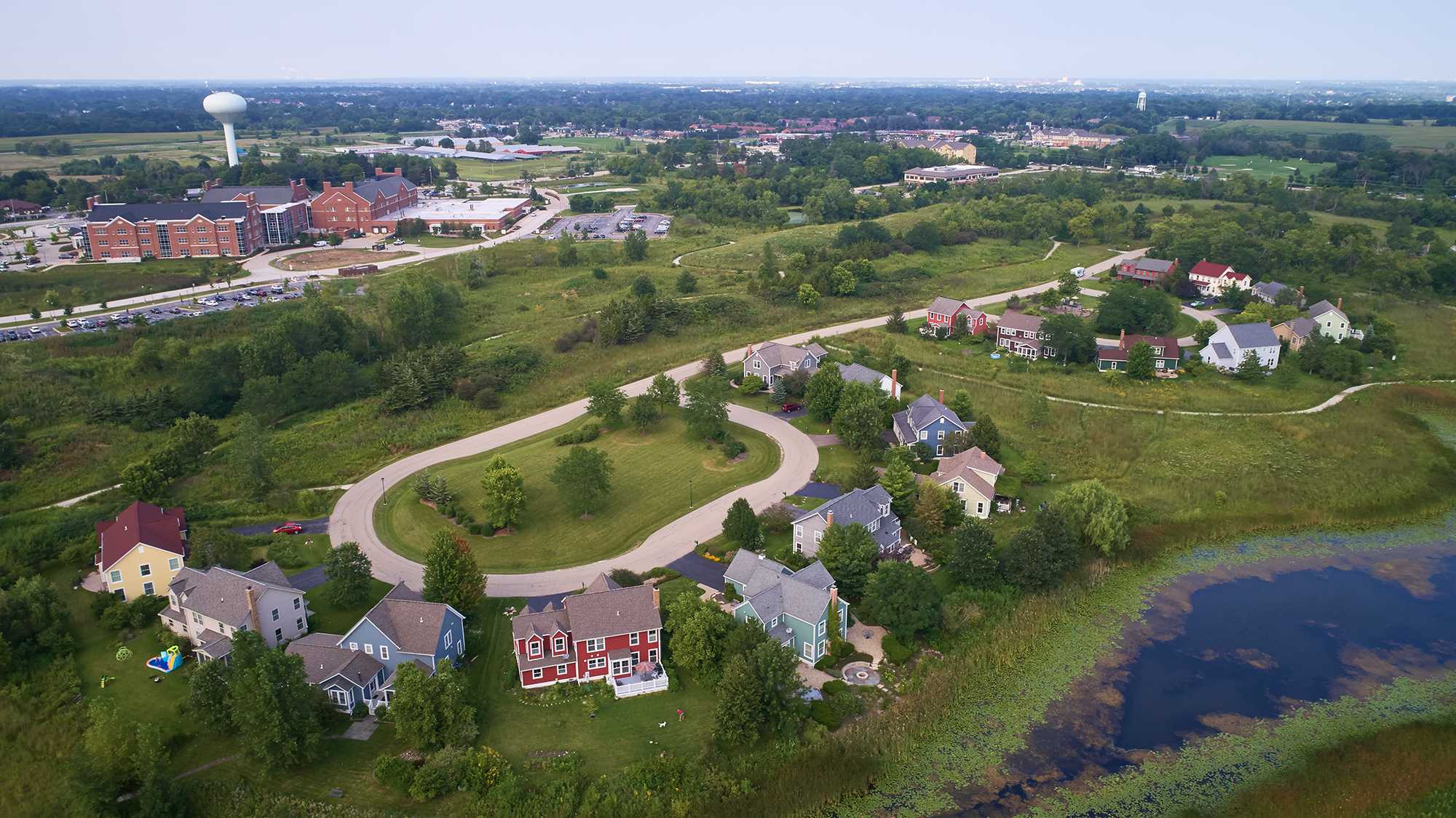
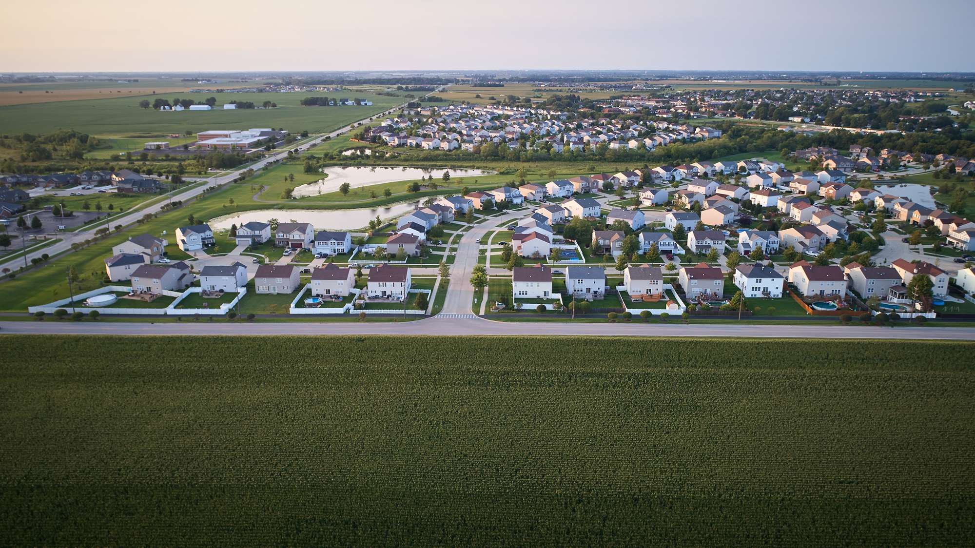
Many areas that score low on walkability are quieter residential neighborhoods, whether suburban or rural. Networks of cul-de-sac streets have low street connectivity, meaning that there is not a true grid system, and rely heavily on collector and arterial streets to gather and funnel local neighborhood traffic from the residential areas. Some of these locations have sidewalks; others do not. Areas in this range should focus on providing a basic pedestrian network with sidewalks and side paths, as well as creating connections between residential neighborhoods and commercial areas.
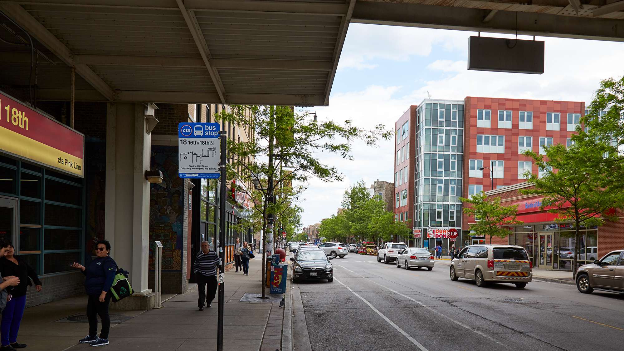
Lack of safety is consistently cited as a key barrier to walking. With regards to walking, safety generally falls into the two categories of traffic safety, and safety from crime. The design of roadways and adjacent rights-of-way can have a significant impact on the real and perceived safety of pedestrians – sidewalks and crossings in particular. Sidewalks constitute the most basic pedestrian accommodation, providing a “pedestrian lane” separated from roadway vehicles.
Sidewalks are associated with significant reductions in pedestrian collisions and are an essential element of walkable communities. To be effective, continuous sidewalks must be part of a connected network that provides access to goods, services, transit, homes, and other destinations and locations. Sidewalk design aimed at promoting walking and walkability should comply with all ADA and Public Right-of-Way Accessibility Guidelines (PROWAG) requirements and guidance. Including a buffer area between the sidewalk and travel lanes, which may consist of a landscaped strip, parked cars, or bicycle lanes, improves the safety and comfort of pedestrians.
Moderate walkability
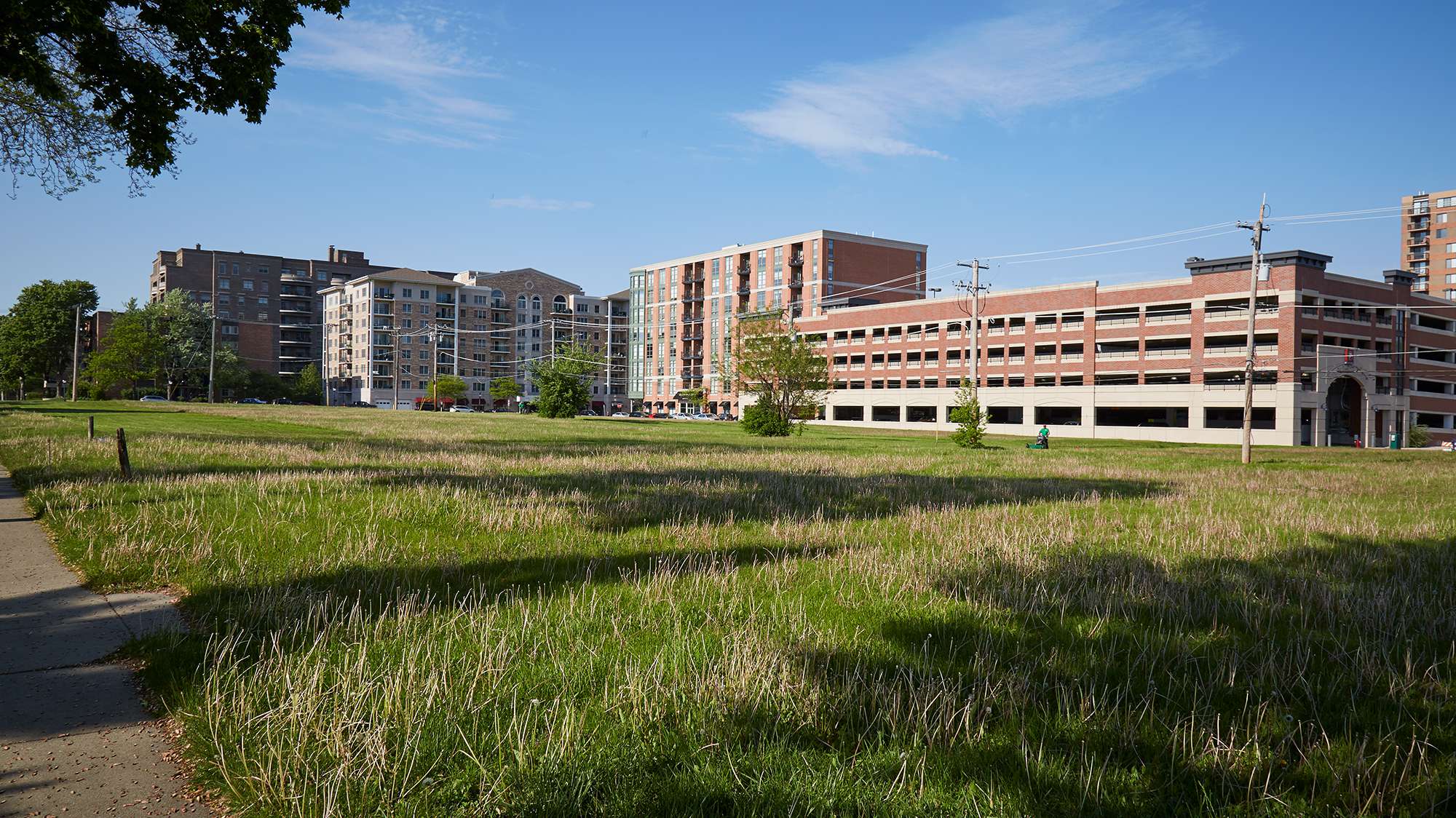
For areas in the somewhat walkable category, the first step toward making improvements is to identify locations where it would be most impactful to enhance the pedestrian environment and focus efforts in those locations. This typically includes downtowns, locations near train stations, and other areas with increased density and a mix of uses. To make walkability improvements, these areas would benefit from roadway redesigns to prioritize people, slower vehicular travel speeds, and elimination of minimum parking requirements to encourage infill development. Minimum parking requirements keep densities low, spread uses apart, and distort the market for parking demand. Infill development in targeted locations will also add walkability in such areas, adding to the density of people and places accessible to pedestrians.
Managing traffic speed is an important aspect of walkability and safety. Pedestrians typically feel safer and more comfortable on streets with lower travel speeds – even when there are high traffic volumes – than they do on streets with higher speeds. In addition, pedestrian injuries are less frequent and less severe on roadways with lower speeds. Traffic calming and speed management measures can enhance walkability and safety. The most effective way to reduce vehicle speeds is through roadway engineering – which can include low-cost re-striping or higher cost curb treatments. The safety benefits of reduced speeds extend to motorists and cyclists, although the advantage to pedestrians is the most substantial from an injury and fatality point of view.
High walkability and very high walkability
To be truly walkable, beyond sidewalks and infrastructure, a community must have destinations to which people want to walk. When a large number of destinations are close to one another and arranged so that residents and visitors can comfortably and conveniently access them on foot, walking becomes a desirable mode of transportation. Some of the destinations that pedestrians should be able to comfortably access on foot include grocery stores, schools, parks and places where people gather, restaurants and retail shopping, civic buildings and places of worship. When these destinations are close to where people live, it becomes convenient to walk to perform basic errands, access everyday goods and services, and engage in community life. These concentrations of destinations typically occur in urban neighborhoods and suburban downtowns.
A combination of moderate- to high-density housing, public transit and transportation options, as well as employment opportunities are other key components of walkable neighborhoods. The concentration of people – residents, visitors, employees – provides local businesses with regular customers. When a large number of potential customers either live within walking distance, work nearby, or can easily access the area by bus, bike, or train, there is less need for parking. Large surface parking lots increase the distance between businesses and destinations. People who have several safe, convenient transportation options are more likely to walk to reach nearby destinations.