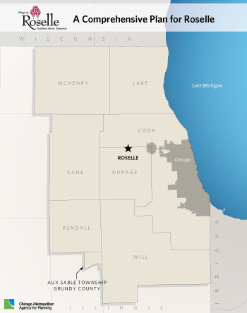
 The Village of Roselle was incorporated in 1922 and lies in the heart of Chicago's northwest suburbs on the border of Dupage and Cook counties along the future Elgin-O'Hare Western Access corridor (Illinois Route 390). The community of 22,728 is a mature and significantly built-up community of 3,540 acres or about 5.5 square miles. The Village is bounded by Nerge Road to the north, Medinah to the east, Lake Street to the south, and Gary Avenue to the west. The Village's two main arterials include Irving Park and Roselle Road, running east-west and north-south, respectively. In addition, the Village is served by three Metra Stations (Medinah, Roselle, and Schaumburg stations) along the Milwaukee District/West Line.
A new Comprehensive Plan was identified as a priority action item in several recent studies, including the 2011 Resource Optimization Study and 2014 Strategic Plan. In the spring of 2015, the Village of Roselle partnered with CMAP through its Local Technical Assistance (LTA) program to develop the Village's first Comprehensive Plan since 1990.
The Village's consultant, Ginkgo Planning and Design, Inc., worked closely with staff and elected officials over the past year to update the plan, and held several public forums to gather feedback from the community. The Village's updated plan will shape development for the next decade, and covers long-term land use, economic development, transportation planning, and civil and stormwater engineering. The Comprehensive Plan also has an implementation component that spells out the critical tasks necessary to carry out the plan.
The plan will be used to identify development that works for specific areas through appropriate design, functionality, and uses driven by market demand, and to guide policy that leads to real economic development opportunities. The updated Comprehensive Plan provides detailed land use analysis, identifies potential redevelopment opportunities, and includes visual renderings for three sub-areas in Roselle: North Roselle Corridor; the Metra Station area; and the Village's Town Center.
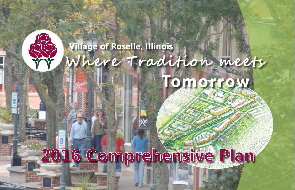
The Roselle Comprehensive Plan was adopted by the Village of Roselle Board of Trustees on August 22, 2016. Download the final plan here.

 Roselle Comprehensive Plan [