Browse the Chicago Metropolitan Agency for Planning's (CMAP) maps gallery that includes our latest map of northeastern Illinois' seven counties and a collection of historical traffic maps.
Maps Gallery
Maps gallery
Regional map
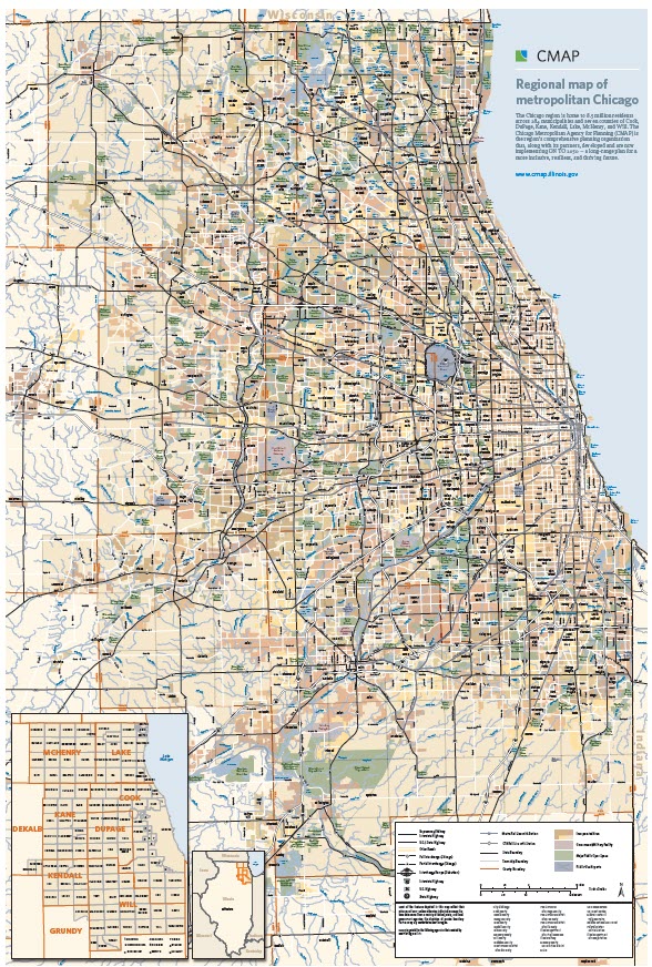
CMAP created a seven-county regional reference map showing municipalities, highways, rail transit, waterways, forests, and other important features. The map is available to municipalities free of charge. A printable version of the map (15MB PDF) is available for download. Click on image for a more detailed view.
Historical traffic volume maps
View several years of historical traffic volume maps.
| Chicago | 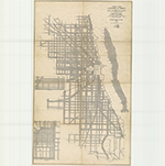 |
| North Cook County | 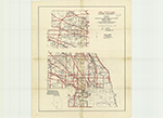 |
| South Cook County | 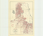 |
| DuPage County | 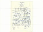 |
| Kane County | 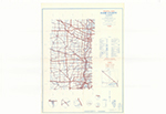 |
| Kendall County | 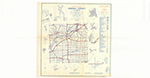 |
| Lake County | 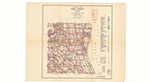 |
| McHenry County | 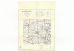 |
| Will County | 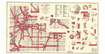 |
| Northeastern Illinois State Primary System | 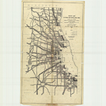 |
Maps gallery
Browse the Chicago Metropolitan Agency for Planning's (CMAP) maps gallery that includes our latest map of northeastern Illinois' seven counties and a collection of historical traffic maps.
Regional map
CMAP created a seven-county regional reference map showing municipalities, highways, rail transit, waterways, forests, and other important features. The map is available to municipalities free of charge. A printable version of the map (15MB PDF) is available for download. Click on image for a more detailed view.
Historical traffic volume maps
View several years of historical traffic volume maps.
| Chicago | |
| North Cook County | |
| South Cook County | |
| DuPage County | |
| Kane County | |
| Kendall County | |
| Lake County | |
| McHenry County | |
| Will County | |
| Northeastern Illinois State Primary System | |