Apr 1, 2024

Explore CMAP's updated Land Use Inventory

CMAP recently released the 2020 Land Use Inventory, a survey of northeastern Illinois' land use. Updated from 2018, the data is available for download.
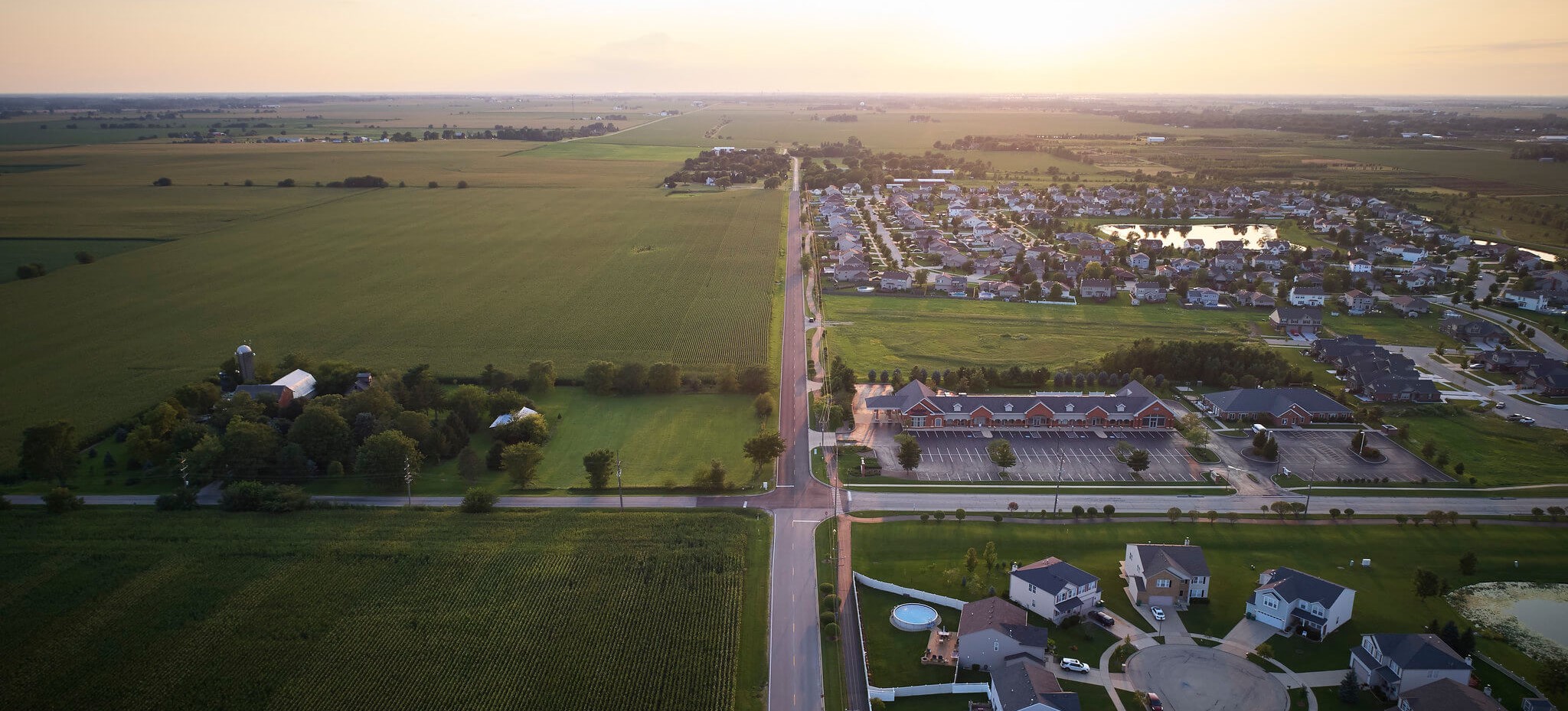
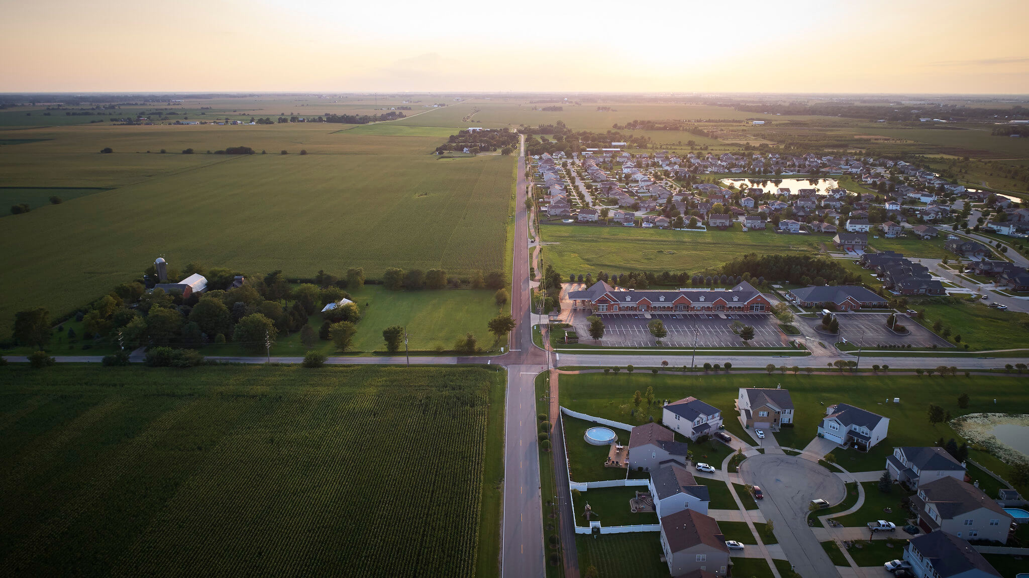
Farms next to housing development

This data is a resource for planners, transportation agencies, federal and state agencies, university researchers, non-governmental organizations, consulting firms, and more.

The Land Use Inventory can help you understand existing land uses when creating a comprehensive plan and track progress toward goals. For example, you can analyze the success of development policies, such as tracking if recent policies have led to more infill and transit-oriented development.

Read about this and more in the latest Data Update.
To Top
Farms next to housing development