High school students from across the seven-county Chicago region participated in the ninth session of Future Leaders in Planning (FLIP), Chicago Metropolitan Agency for Planning's youth leadership development program, in July 2016. The students spent six days learning about planning and how it affects their communities. Read a day-by-day recap of their activities to find out more about the program and apply for 2017 here.
Day 1
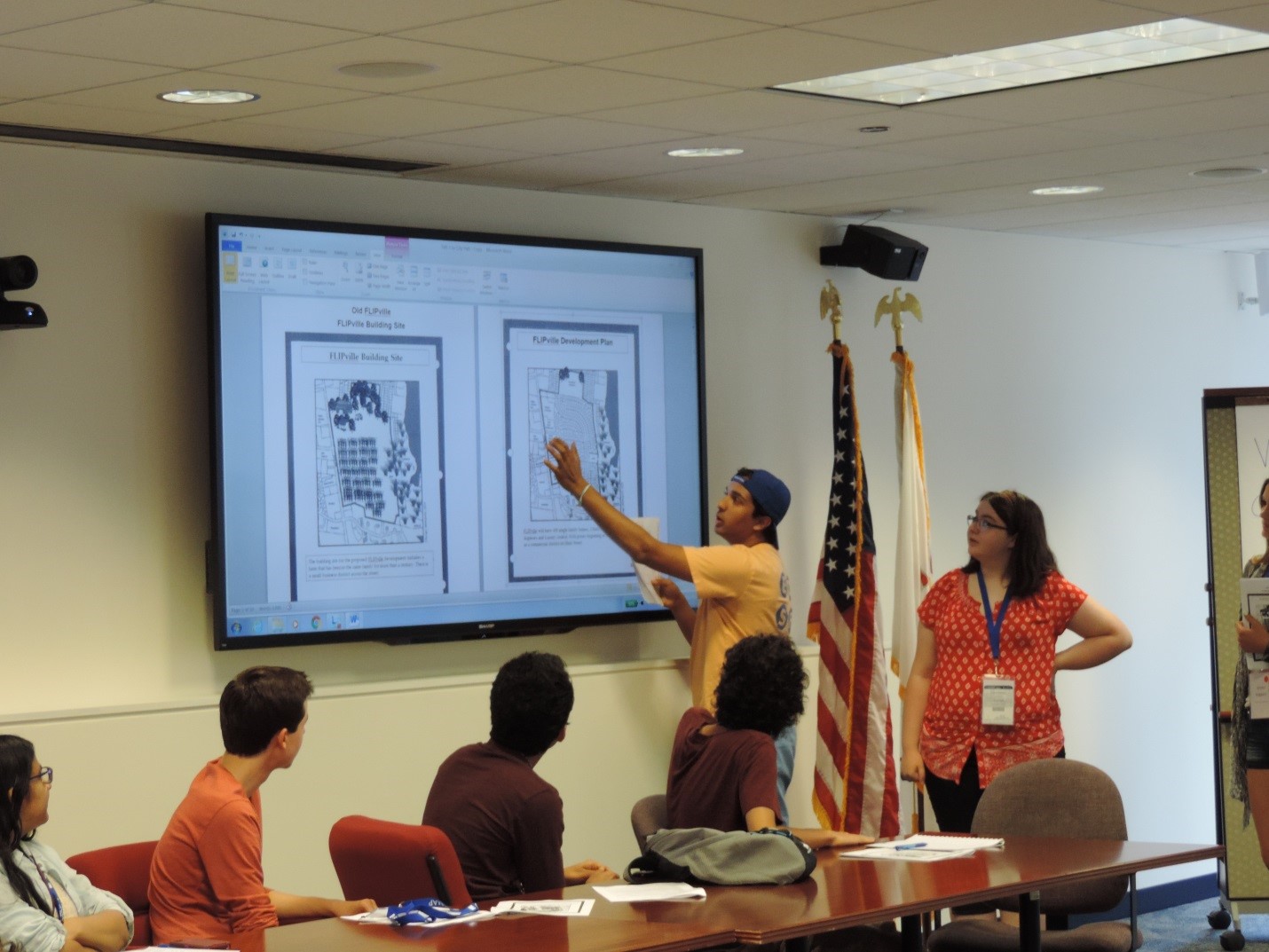
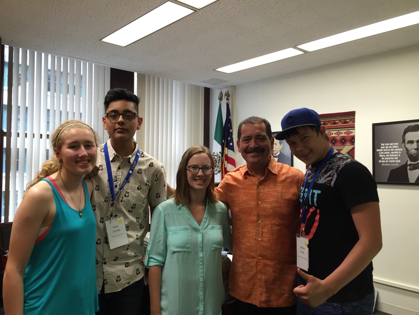
The 2016 FLIP program began with icebreakers and introductory activities for the students to get to know one another and start to understand basic urban principles planning. The group then went on a scavenger hunt of downtown Chicago to look for protected bike lanes, Divvy stations, parking structures, and public plazas. One group got bonus points for meeting Cook County Commissioner Chuy Garcia. After the scavenger hunt, students applied their new understanding of planning to an interactive activity called FLIPville, where they each represented different community interests and simulated the process of deciding what happens to a piece of land.
Day 2
The second day of the program focused on site planning, urban design, and placemaking. After learning about the design principles involved in planning a site, FLIP students traveled to the 606 trail and park to observe these ideas in action. After taking a tour led by representatives from the Trust for Public Land, students spent time observing the trail and how it related to the concepts of the morning's lesson. Afterwards, they came back to the office and participated in an experiential mapping activity, designing creative maps of what they observed along the 606.
Day 3
The third day of FLIP covered neighborhood planning, with a focus on the Albany Park neighborhood of Chicago. After an introduction to the history of the neighborhood and the important elements of neighborhood-level planning, the group travelled to Albany Park for an asset-mapping activity. The students split up into groups to focus on different assets of the neighborhood, such as community institutions, transportation, and open space.

Day 4
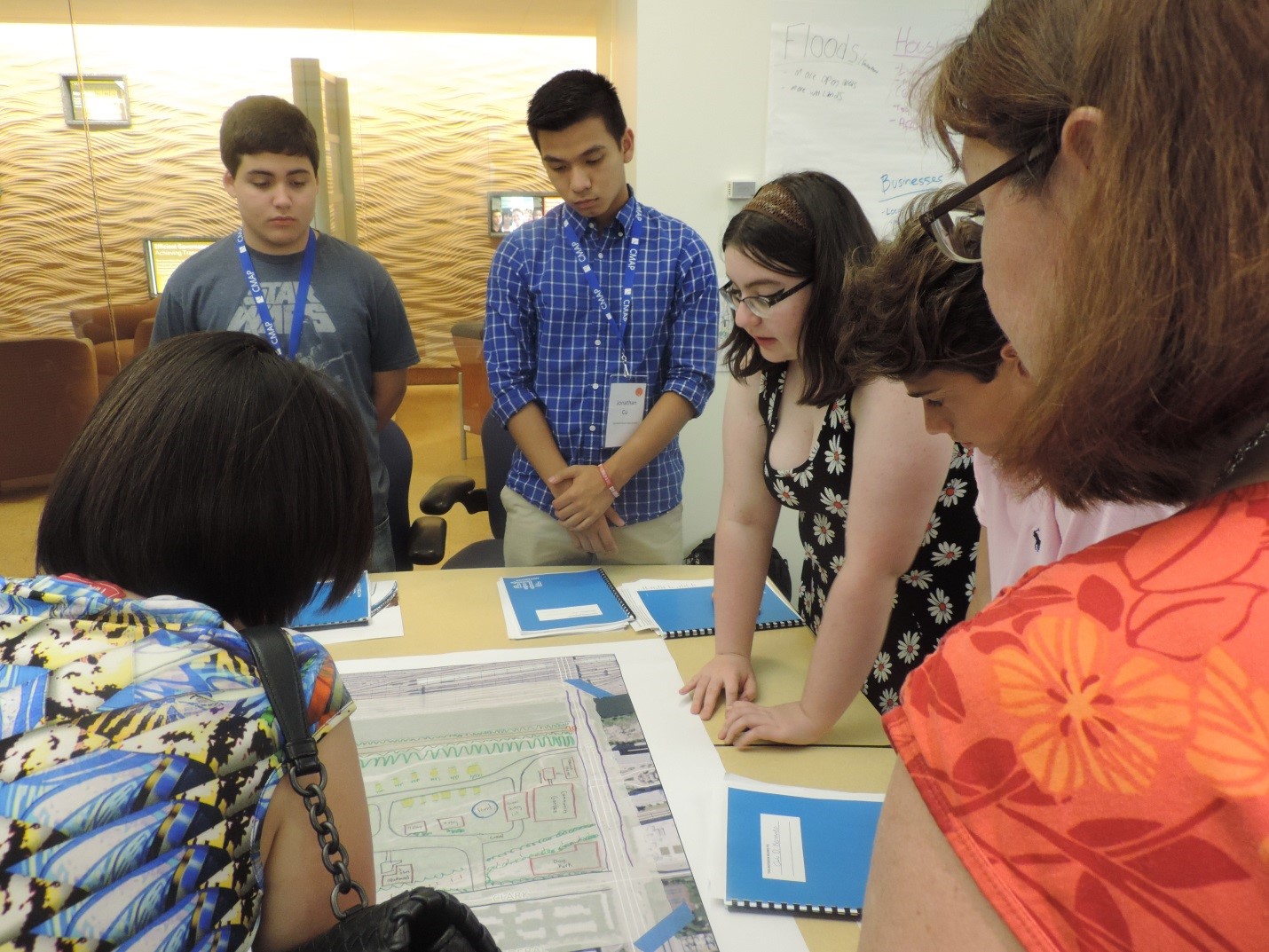
The fourth day of FLIP began with a discussion about planning at the municipal level. The rest of the day focused on the Rezko site, the vacant area in the South Loop bordered by the Chicago River to the west, Roosevelt Road to the north, Clark Street to the east, and Ping Tom Memorial Park to the south. After walking to the site and learning about its history and context, FLIP students designed their own ideas for future uses of the site. They incorporated the principles of planning they already learned, as well as the interests of different stakeholders and zoning regulations.
Day 5
The fifth day of FLIP 2016 started with a lesson on regional planning. Students participated in a panel with planning professionals to help them gain a better understanding about careers in planning. In the afternoon, FLIP students took a field trip to O'Hare International Airport for a tour of the airfield and discussion on the importance of airport planning with a representative of the Chicago Department of Aviation.

Day 6
On the final day of FLIP, students applied everything they learned in FLIPville 2.0, another interactive activity focused on building affordable housing. Students then discussed the future of the Chicago region with members of the CMAP Outreach team and gave their feedback on the most important issues facing the area. Students prepped for an open house to showcase their work and what they learned to their parents and family members. The week closed out with the ON TO 2050 youth forum, where students provided their recommendations for the next regional plan based on what they learned during FLIP.
Students who are interested in joining FLIP 2017 should apply online by June 9.